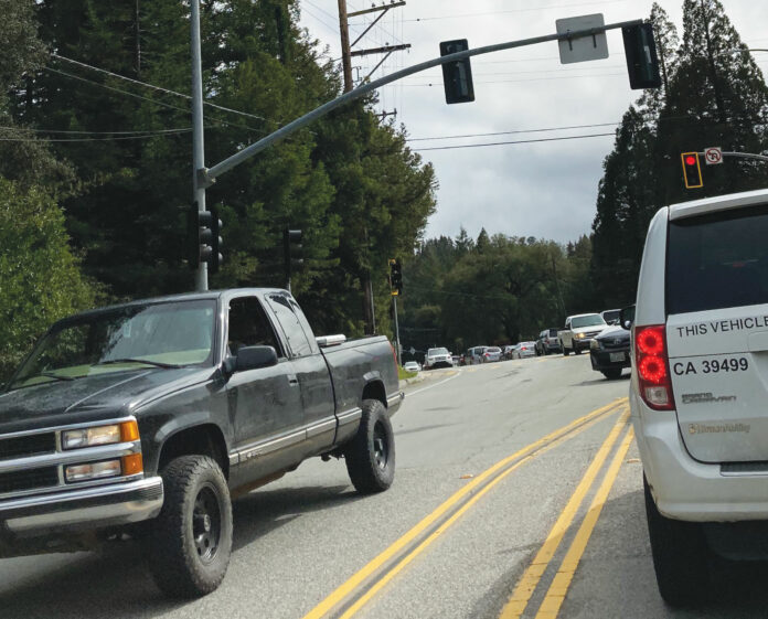
The draft of a key traffic study that seeks to fix problems with dangerous portions of Highway 9 has been released.
The Santa Cruz County Regional Transportation Commission is now seeking public feedback on the San Lorenzo Valley Schools Circulation and Access Study.
Santa Cruz METRO teamed up with the County, San Lorenzo Valley Unified School District, Caltrans and the RTC to make the popular route for students and their parents safer, but it’s been a long process.
The Highway 9/San Lorenzo Valley Complete Streets Corridor Plan was completed in 2019, after years of public meetings, focus groups and surveys. It’s supposed to be a guiding document to coordinate future transportation projects in the area.
Then, in January 2022, the RTC, SLVUSD, Caltrans, METRO and the County decided to work together on an addition to the plan—to really zoom-in on necessary improvements along Highway 9 from Graham Hill Road to the southern Glen Arbor Road intersection.
The resulting Schools Access Study notes that between January 2015 and December 2019 there were 49 crashes—mostly things like rear-end collisions and sideswipes—in the studied area, including 11 between El Solyo Heights Drive and the San Lorenzo Valley High School driveway alone.
A survey included with the report found 70% of students rely on personal vehicles to get to the Tri-Campus, followed by 24% who take METRO or SLVUSD buses and 6% who walk or use some sort of wheeled device.
That’s the same percentage that walk or wheel themselves home at the end of the day, although 40% say they take a bus home, as less—54%—said they leave the school grounds in a personal vehicle.
Some students shared comments about wanting safe cycling routes: “I would like to ride my bike to school, but Highway 9 is very busy,” wrote one. “On highway 9 make more room for bikers and walkers so people aren’t scared to get hit by a car,” said another. “Less traffic. More bike trails,” reads a third submission.
The study found 66% of people want sidewalks on the south side of Highway 9, and 62% favored right-turn “pockets,” which make turning safer. Fifty-five percent would like to see sidewalks on Highway 9’s northern side.
Sixty percent want cycling infrastructure on the south side of Highway 9, and 52% want cycling infrastructure on the north side of the Caltrans-managed roadway.
The draft plan recommends southbound shoulder and sidewalk improvements from the high school driveway to Graham Hill Road (which is already part of the Caltrans Felton Safety Project) and a northbound continuous bike lane and shoulder from Graham Hill Road to Rockys Café. It also recommends developing a pathway between Fall Creek Drive and the high school.
This was already in the works, but progress has stalled due to various obstacles, such as “safety and security from illicit activity” and “impacts to established trees.”
The plan suggests the removal of five to seven parking spaces south of the high school traffic signal to establish a student loading zone and restricting travel in the area between the high school and the elementary school parking lots to northbound traffic, to improve overall flow.
The draft Study is now available for review and public comment at https://sccrtc.org/slvplan. Comments from stakeholders and the public can be submitted to in**@****tc.org for consideration by the project team for the final version.


