

At a nighttime meeting Sept. 26 at the Highlands Park Senior and Community Center in Ben Lomond, Cal Fire Capt. Frank Rodgers sympathized with those of the 30 to 40 attendees who wondered about the complexity of changing fire danger maps.
They had gathered to hear from insurance, real estate and fire officials about why certain areas have shifted from orange to red, while others went from red to orange.
“Some of it’s not ‘understanding;’ some of it is simply ‘accepting,’” said Rodgers, adding he trusts the data and the modelers. “Generally speaking, changes between zones are typically changes in vegetation, changes in slope, changes in aspect.”
The new maps cover State Responsibility Areas, while a separate effort will begin in several months to cover the more local set, which affect valley floors and municipalities.
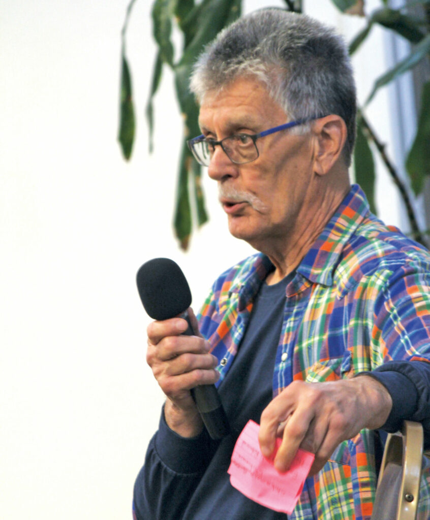
Scott Witt, out of the Office of the State Fire Marshal—who was once a battalion chief on the other side of the Santa Cruz Mountains (from Mount Madonna to South San Jose)—said additional climate details have now been incorporated. He can tell where Summit Road is just by the different hues, which he said squared with his own experience.
“That gave me a lot of confidence in the map,” Witt said. “I’ve fought a lot of fires in these hills.”
Local residents, who have been battered not only by fire and floods over the last few years, but also insurance companies pulling up stakes, were very eager to try to understand how the new maps might impact their lives.
Witt said if some Santa Cruz County residents see their property drop to a lower danger level, that could be because the new model takes into account the marine layer coming off of the ocean, while the older one didn’t really factor this in. However, he cautioned not to use this as an excuse to let your guard down.
“You still have a hazard in that area,” he said. “You’ve seen that with the CZU Lightning Complex.”
And, he added that the maps only work-in longer-term data points, such as fire frequency and topography, but purposefully don’t account for other factors, such as how good a particular fire department is or how well residents control weeds, debris and problem trees on their property.
The reason for that, Witt explained, is that while a particular homeowner might do a good job of creating defensible space, they could move out and be replaced by someone with much lax standards.

One theme of the evening was how, in any case, the risk of fire is rising.
Witt recalled thinking, back when he was fighting the 2003 Cedar Fire in San Diego, which consumed almost 3,000 buildings, he figured that would be the worst he’d ever see—a “career fire.” He’s not so “foolish” as to think that way anymore, he commented—especially considering the recent past.
“I’ve had a ‘career fire’ every single year,” he said.
The new maps pertain to just State Responsibility Areas, the places where Cal Fire heads-up firefighting. Just two counties in California don’t have SRAs.
The maps aim to account for fire hazard, compared to “fire risk,” which Witt put into the context of hurricanes, Witt explained. He said it would be like if his dad, from Tennessee, moved to Hawaii and asked about protecting his property as best he could.
“What can I do to reduce the occurrence of a hurricane coming over my property?” he said, offering a hypothetical—and obviously ridiculous—question. “That’s an underlying hazard.”
It’s those sorts of things that the maps address, he explained.
Risk, he said, was about answering a different question: “What can I do to reduce the damage?”
According to Witt, the maps will have the biggest impact on new construction, in the hopes of improving standards without burdening homeowners too much. The proof will be in the pudding, he added.
“My bet is those higher-hazard areas will have less loss than those that aren’t in the zone,” he said, adding Cal Fire research suggests earlier maps are already bearing fruit. “We’re mapping things with our damage inspection program.”

A question that came up multiple times throughout the evening was whether or not insurance companies use these maps to deny or adjust coverage. Witt said some of the data in the maps might get used, but insurance companies don’t use the maps themselves, as they have their own proprietary mapping techniques.
Richie Sayavong, an outreach analyst for State Insurance Commissioner Ricardo Lara, said insurance companies are actually now required to give discounts for steps homeowners take to defend their homes against wildfire.
Again, attendees questioned whether or not the new fire danger maps could be used by insurance companies to deny coverage. Sayavong said not only do they not use this, but he added this would actually be illegal.
“They are not allowed to do that,” he said, adding if the maps are referred to in a denial letter, the homeowner should contact the State to report the offending company.
State Assemblymember Gail Pellerin, who was in the audience, said she would be holding a town hall on Wednesday, Nov. 1, specifically about home insurance issues.
“It’s a crisis for folks who are getting the non-renewals,” Pellerin said.
The next speaker, Logan Andren, a Boulder Creek-based realtor with EXP Realty, said that despite all the hurdles faced in the Santa Cruz Mountains, demand for homes has remained strong and prices are still high.
In the first quarter of 2020, home prices in Boulder Creek were at $630,000 but have jumped to about $800,000, he said. And unless you’re buying with cash, he added, you’re required to have a fire insurance policy.
Both flood and fire insurance policies have shot up after recent natural disasters, but are stabilizing somewhat, according to Andren.
“We’re still seeing multiple offers,” he said, noting the proximity of wealthy Silicon Valley nearby, which President Joe Biden was visiting for a fundraiser that very day. “People just really want to live up here.”
Alba Road resident Lindsay Speth talked about her experience banding together with neighbors to form a Firewise group, which helps to reduce insurance rates.
Felton resident Bud Stuckey, an audience member, expressed frustration that despite moving 300,000 pounds of stone and putting in rooftop sprinklers—among about $40,000 worth of anti-fire upgrades to his mountain home—Farmers Insurance still pulled the plug on him.
“‘It does not matter what you do, your policy is canceled in October,’” he said the company told him. “Why was I canceled?”
Stuckey said he was frustrated with a lack of response from some local political and fire officials. Even though he’s a veteran, he can’t even get insurance through USAA, he added.
“I can’t pass because my trees touch,” he said. “I just wish that someone would come to my house.”
Sayavong said people across California are in the same boat.
“It’s not an ideal situation,” he said. “But we are looking to address those issues.”
He said they’re working to improve the FAIR Plan that is still available to mountain residents.
“There are many things that they are canceling people for,” he said. “This is something that Commissioner Lara is working to address.”
Andren said overall the meeting was quite helpful.
“I thought it was really great,” he said. “I learned a lot from the speakers from Cal Fire. I thought that they had some really good information, when they were describing how they designed these maps.”


Great article Drew!