This is the third entry in a multi-part series about debris flows. Read the first entry in the Dec. 25, 2020 edition of the Press Banner and the second in the Jan. 1, 2021 edition, or visit pressbanner.com.
- Tony Nuńez, Editor
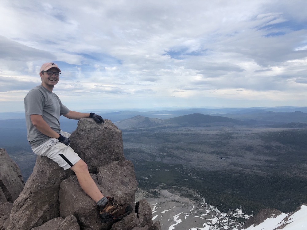
Parker Blunts is bound to be a rock star. Just 24 years old and a second-year Ph.D. student at UC Berkeley, Blunts was born in Seattle and did his undergraduate work at the University of Washington (UW). He has bachelor’s degrees from UW in civil engineering and geology, and a master’s from Berkeley in engineering and geotechnical engineering. Blunts has spent time in Washington State at a natural hazards reconnaissance lab, attended lectures by professors who were involved with the Oso, Washington mudslide of 2014, and is still trying to figure out what he wants to be when he grows up. For now, he’s set his sights on the San Lorenzo Valley.
With “a deep love and appreciation for rocks and geology” mixed with the practicality of an engineering degree, Blunts found his way into the graduate program at Berkeley, and is putting his knowledge to work in the Santa Cruz Mountains as part of a team led by Berkeley Associate Professor Dimitrios Zekkos.
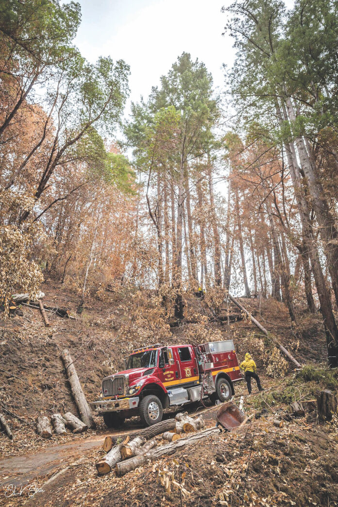
Zekkos, who teaches in the Civil and Environmental Engineering Department, assembled a group of specialists who have traveled to Boulder Creek to assess the impact on the mountains following the CZU August Lightning Complex fires. Using technologies, including drones, lasers and mapping software, and funded by the NASA Disasters Group, Zekkos’ team is putting boots on the ground to analyze how hills change after fires, specifically focusing on debris flows.
The United States Geological Survey (USGS) was the mover and shaker in getting the Berkeley group to connect with the San Lorenzo Valley Water District (SLVWD).
“We aligned with their team after the USGS completed the installation of a shallow landslide subsurface hydrology monitoring instrumentation device to allow for the earliest detection of soil movement during/after rain events,” said Carly Blanchard, environmental planner for SLVWD.
Blanchard said the 2020-21 rainy season poses an irony for the district.
“It is unusual for us to not hope for an above-average rainfall,” she said. “Due to the fires, we are hoping to receive lighter rainfalls over longer periods of time. The debris flow evacuation order threshold is more than 0.3 inches of rainfall in a 15-minute period. The district is very concerned for the community in the areas impacted by the fire, and the potential of limited access to the district’s infrastructure if debris flows were to occur.”
In the past, researchers have looked at areas pre-fire, during fire and post-fire, but no one has tried to do what the Berkeley team is doing: quantifying the incremental changes in the topography. Zekkos realized that with funding from NASA, area expertise and the closeness of the region, it made sense to turn his team’s attention to Boulder Creek.
“My role as a research student is trying to quantify that change for this project, and working with mapping models to determine how the hillsides change over time,” said Blunts, who says his area of study is the “transition from rock to soil, and how that affects natural hazards like debris flows and landslides.”
Using a surface seismic technique called MASW (multi-channel analysis of surface waves), noninvasive probes are put along the ground; hitting the probes with a hammer allows scientists to get information on what’s happening beneath the surface of the mountain without ever digging. By using that technology to determine where the soil turns to rock, or to find pools of water, researchers can focus on areas of the mountain that may be of interest, and may lead to greater assessment of risks in the area. LiDAR, which uses pulses of light to focus on a target and bounce back information to the sensor, is another way to construct 3-D models of the region. However, its inability to penetrate through heavy vegetation makes it less ideal for the topography of the region.
Aerial surveying of the area is no longer getting in a helicopter to view the damage from afar; drones with high quality cameras are given an automated flight path, and 500 pictures later, Blunts finds himself in his lab, constructing a model from the layering of photos. The final product is a point cloud—a geo-referenced file that shows X, Y and Z coordinates. By laying these models atop one another, researchers like Blunts can continue to collect data sets and see how the topography is changing over time. How much time? Blunts says he believes the team will continue working in the area through the spring, and expects that the results of the study will be shared with the City of Santa Cruz, San Lorenzo Valley Water District, USGS and NASA. Ultimately, he says, the study might be published in an academic paper depending upon the outcome.

“If we think this is really influential and might help USGS calibrate their models, that’s the dream for us—that our work can be integrated into the efforts of people who are doing hazard assessments for residents,” he said.
Hazard preparation is already happening on the ground. Blanchard says SLVWD is prepared to leap into action at the earliest sign of trouble.
“The district completed an emergency response plan in light of the looming debris flows, which includes generators stationed at locations throughout the valley, satellite offices, and strategic staffing, to allow for our staff to access different parts of the valley if road access is lost,” she said. “We also completed mitigation and recovery at our largest treatment plant (Lyon Treatment Plant) in Boulder Creek, including erosion control along burned hillsides.”
And how has the district aided the Berkeley team?
“The district has primarily assisted CalBerkeley with access to viable study sites. CalBerkeley affiliates visited multiple sites on District property along with District staff to assess which would be most conducive to their study.”
While the Watershed Emergency Response Team and USGS groups are working on trying to quantify the potential for debris flows, Zekkos’ team is using science to understand the change in the region, and when the triggering mechanisms might occur.
“We’re collaborating with those agencies and sharing data, but our focus is slightly different than the USGS,” Blunts said.
For Blunts, it’s all about helping the community that has already suffered much loss.
“The devastation to the residents of the region is horrific, but we hope our research can do something to potentially help mitigate these risks moving forward,” he said.


